 |
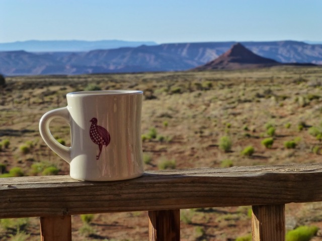
| A view into the Valley of the Gods which we would drive thru later that morning… and not take one single picture of. Whoops. |
So our big plan for the day was to get to Tropic which is a town just outside of Bryce Canyon NP where we had a KOA campsite reserved. We had 280 miles to go, two National Monuments, one National Recreation Area, and one National Park to visit along the way. (Also, after looking up the route in Google Maps I found that the total amount of feet we’d climb that day was nearly 15,000ft with a total descent of 12,700ft. Crazy.)
Not too far west of Blanding is Natural Bridges Nat’l Monument. I hate to say it, but we kinda blazed through it because of sleep-deprivation, knowing we still had a loooong way to go, and it was hothothot.
 |
| Sipapu bridge, Natural Bridges NM. It’s the 2nd largest natural bridge in the world! |
 |
| Kachina Bridge. These are so hard to see in the photos because you’re looking down on them. Pity. |
 |
| Pretty. |
 |
| Owachomo Bridge. Not gonna lie, the name made us giggle. You can see it in the middle of the picture and the shadow it’s casting just above the trees in the foreground. |
When we left Natural Bridges we entered Glen Canyon National Recreation Area, which is a 1.2 million acre fun zone! When we left that morning from the B&B one of our hosts said that the drive we were going to take that day along Utah State Route 95 was, in his opinion, the most beautiful drive in the world. Not sure how he can validate that one, but it was an amazing drive.
 |
| At the Hite Overlook. All that greenery is where Lake Powell should be, but drought has kept the lake levels down for a long time. Planes were flying below us from this overlook which seems so wrong. |
Alas, Capitol Reef NP. The park is super long and skinny and the highway goes right through the top portion. I’d like to go back to hike and explore the scenic drives some day, but the drive we took was still stunning.
 |
| Again, using Dan for scale. |
 |
| So ugly, right? |
We tool a left out of Capitol Reef and headed south to Tropic on Hwy 12 Scenic Byway. The drive down 12 goes through the Grand Staircase-Escalante National Monument. My travel book writes “many consider the best section of the road to be the switchbacks and petrified sand dunes between Torrey and Boulder. Then again, the razor-thin Hogback Ridge between Escalante and Boulder is pretty stunning too.” Well, you’ll see the video of us driving along the Hogback and how stunned we were.
 |
| A view from Boulder Mountain looking into Capitol Reef and the La Sal Mountains. |
 |
| A view from the Hogback. |
 |
We made it to Tropic and our lovely KOA site. Our neighbors were a family with some surly looking kids (probably on day “I miss my Xbox”) and some European guy who liked to walk around in what looked to be a fetching pair of boxer briefs. He had really nice legs. 😉
Anyway, the night was pizza, showers and wifi. We looked like a couple of war correspondents on our picnic table, managing our tech and updating social media. L-I-V-I-N.
 |
| Dome sweet dome. |


